|
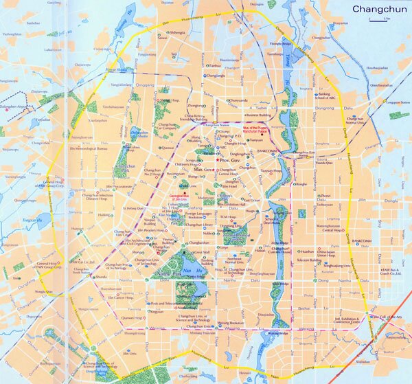
Changchun is the capitcal city of Jinlin Province, the second largest city in northeast of China. It lies in the middle part of Jilin province and covers an area of above 20,000 square kilometers, with a population of over 7 million. Changchun enjoys a temperate arid-humid continental monsoon climate featuring cold,long winters, dry, windy springs, warm,short summers and sunny autumns. With an average annual rainfall of 567mm, the average annual temperature is about 4.8 ℃, and around -17.2 ℃ in January and between 23 ℃ in July.
Tourist Resources of Changchun : Jingyue Pool, Puppet Emperor (Manchouguo) 's Palace and Exhibition Hall, Changchun International Sculpture Park.
|