|
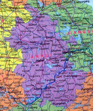
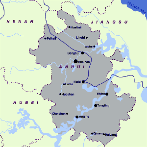
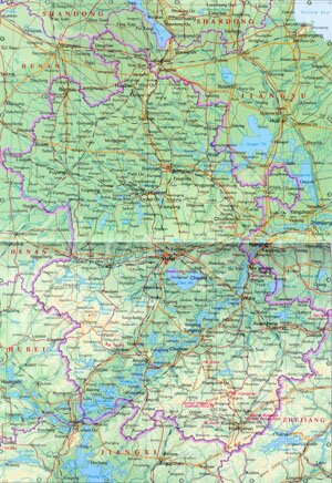
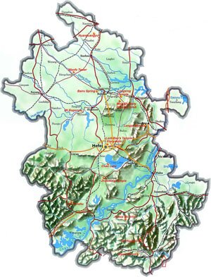
Anhui Province, abbreviated as Wan in Chinese, is located on the northwest of East China, along the Yangtze River. It covers an area of over 130,000 square kilometers, and has a population of 64.1 million. Hefei is the Capital of Anhui Province.
Anhui Province Geography: Mountains and hills takes up to 2/3 of Anhui's total area. Major mountains in Anhui includes Mount Dabie Shan, Mount Huangshan, and Mount Jiuhuashan. Major plains are Huaihe Plain and Wanzhong Plain. Yangtze River, Huaihe River and Xin'an River are major rivers in Anhui.
Anhui Province Climate: Anhui enjoys a typical monsoon climate characterized by mild temperature, medium rainfall and clear distinction of four seasons. The average annual temperature is between 14-17℃, with an annual rainfall of 750-1,700mm.
Anhui Province Agriculture: Wheat, potatoes and other grain crops are mainly grown in north of Huaihe River and rice nad wheat in south.
Anhui Province Industry: As a prodution base of coal and steel, Anhui's industrial system is mainly supported by heavy industries like coal, metallurgy, chemical and machinery production.
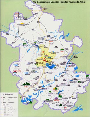
Tourist Resources of Anhui Province: Mount Huangshan and Ancient Villages in Southern Anhui Province are listed in the World Heritage List By UNESCO. Anhui Food is one of the eight most famous cuisines in China.
|