|
Tianjin Overview
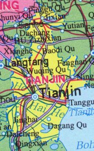
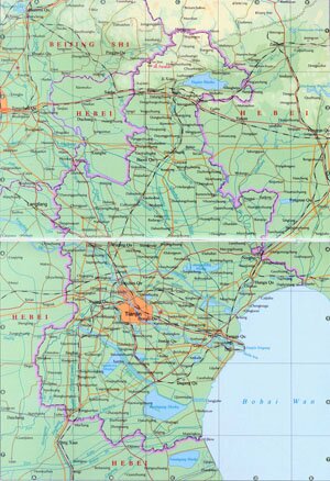
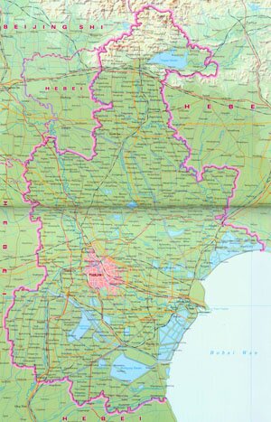
Tianjin, abbreviated as Jin in Chinese, is located on the northeast of Huabei Plain, along the lower reaches of Hai River. It covers an area of over 12,000 square kilometers, and has a population of 9.43 million.
Tianjin Geography: Terrain of Tianjin descends from northwest of southeast. Major rivers in Tianjin are Hai River, Ziya Xinhe, Yongding Xinhe, chaobai river and Ji Yunhe.
Tianjin Climate: Tianjin enjoys warm temperate semi-humid continental monsoon climate, characterized with distinctive seasonal difference. With an annual rainfall of between 550 ~ 680 mm, the average annual temperature is around 12 ℃, and - 6 ~ -4 ℃ in January and 26 ℃ in July.
Tianjin Agriculture: Agriculture is developed around suburban Tianjin. Fresh water crab, carp and clam are rainsed along Hai River.
Tianjin Industry: Traditionally Tianjin has been an important center of commerce and export in north China. Industries here mainly include metallurgy, ship building, chemicals, instruments manufacturing, electronics, light industry, paper making, wool and clothes making, etc.
Tourist Resources of Tianjin: Mt. Panshan, Dule Temple, the Great wall at Huangyaguan, Dagukou Fort Barbette, Tianjin TV Tower, Tianhou Temple, Confucian Temple, Street of Ancient Culture.
|